More than a River, the Tagus is part of the identity of Abrantes. This river has an enduring influence upon the landscape, the flavours and the soul of the whole region. This 45-km long Great Route Tagus Path follows the most incredible natural settings between Abrantes and charming Constância, the birthplace of Portugal's epic poet, Camões.
The route - Great Route 12/E7 - Tagus Path stretches from Abrantes to Constância and it can be followed both ways. A memorable walking route across the fertile river banks with extensive cultivated fields, and a fauna made of water lizards, common frogs, viperine water snakes, otters, terrapins, crows, herons and storks embellish the walk.
The riverside vegetation is characterised by by the presence of reeds and planks that can be seen in places of flooding; Mediterranean willow forests consisting of willows (Salix sp.) and poplars (Populos nigra).
1st stage: Alvega // Aquapolis
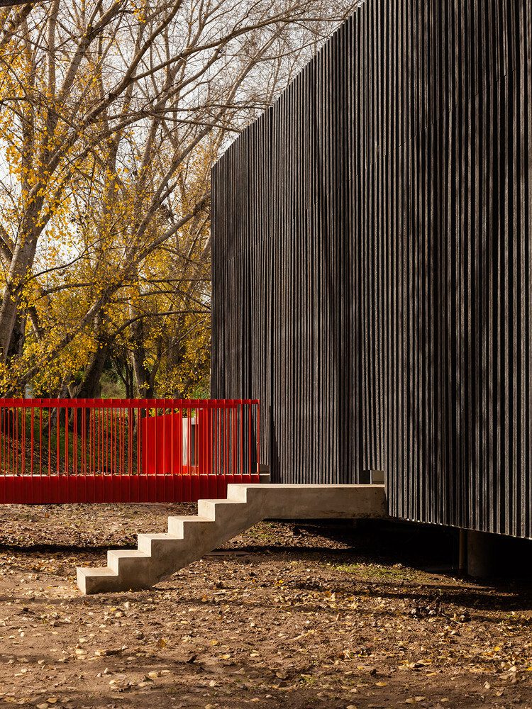
The first stage of the walking route starts in the impressive rowing station of Alvega, a true landmark of contemporary architecture, designed by ateliermob. A challenging project that gives back the Tagus to the local community. This stage ends in at the south bank of Aquapolis, in Rossio ao Sul do Tejo.
Winding along up and down between Alvega and Pego, where the Great Route follows down to the level of the river. The river banks are full of poplars, willows and some cork-oaks. The Hermitage of Senhora da Guia and the Alfanzira canal are some of the main attractions.
2nd stage: Aquapolis // Constância
The second stage is mainly characterised by passing from the south bank to the north bank of the river. The enchanting city of Abrantes deserves a detailed visit. The belvedere Outeiro de São Pedro and the Castle of Abrantes are privileged spots to contemplate all the beauty of the city and the Tagus.
Between Abrantes and Constância, always at river level, the Great Route unfolds through vast cultivated fields (cornfields and sunflower fields), as well as reed beds, willows and poplars, very common in riverside areas.
This is a 45 km-long straight route that can be followed on foot or by bike all year long, but the most advisable period would be between March and November.
Technical data & altimetry
Track type: straight
Distance: 45 km
Maximum altitude: 170
Minimum altitude: 25
Accumulated gradient: 553 m
Duration: 4 hours by bike and 10 hours walking (5 hours walking in each stage)
Difficulty level: medium to difficult
Recommended season: Spring and Autumn


